


Nynäs Naturreservat
Nynäs Naturreservat is one of Sörmlands biggest nature reserves and located at the beautiful coast in front of the archipelago islands. The nature in this area is extremely diverse and even cultural sights like the castle Nynäs Slott, the ancient sawmill Bråfalls Såg and the former mill Karlfors Kvarn are to be found here. Below, you can find two different hikes which I offer in this nature reserve.
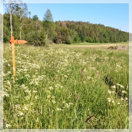
#1 From Nynäs Brygga to Sandvik beach
A varied hike through diverse forest areas and along the Baltic Sea coast with numerous geological sights and a beach with light sand.
Walking distance: 8 km
Duration: 4 hours
Level: moderate, forest paths, partly rocky
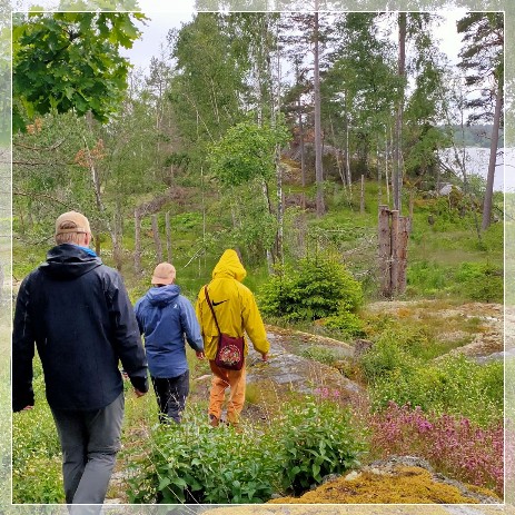
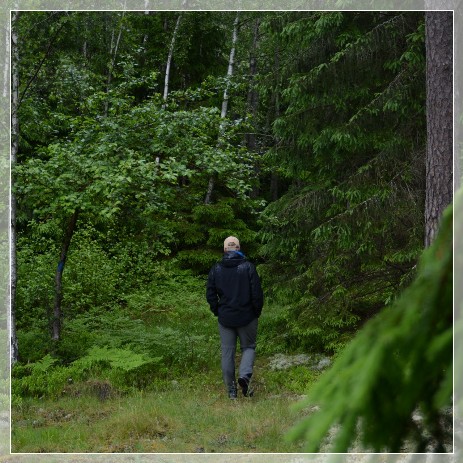
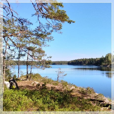
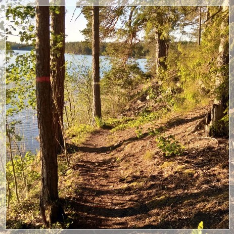
Close by the tiny harbor 'Nynäs Brygga', we start our hike on forest paths through the landscape shaped by the last ice age. Along the coast, we get a wonderful view of the Baltic Sea with its archipelago islands. Finally, we come to “Sandviks Badplats” with its sandy beach. Here the Baltic Sea invites you to take a swim.
What very few people know: The circular bay Tvären was created around 450 million years ago by a meteorite impact.
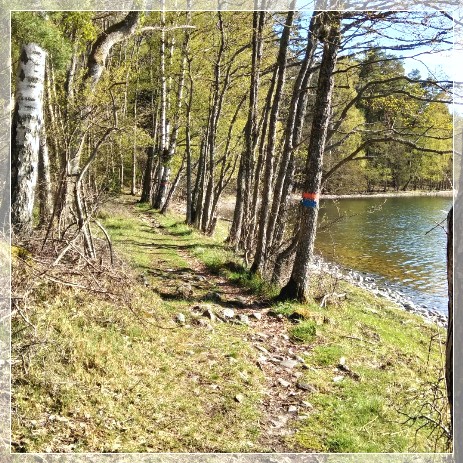
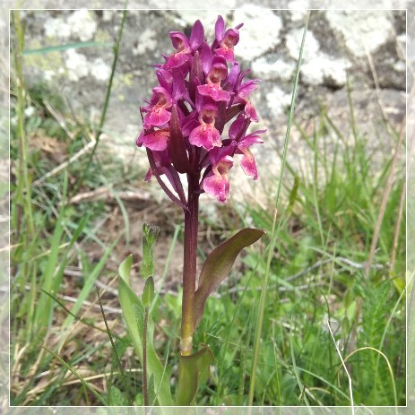
The way back to the parking is much shorter and runs on wide gravel paths along the coast. However, this is by no means a boring section. There are always beautiful views of the bay and here and there a tiny red house with gnarled apple trees in the garden. Numerous orchids bloom along the way in early summer.
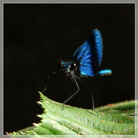
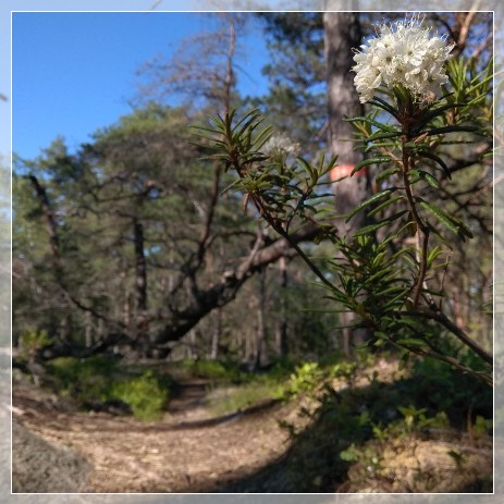
As a geographer and biologist, I will give you valuable information about the last ice age, its traces in today's landscape and much more. On this hike we see a so-called giant's kettle, which was created by meltwater at the end of the last ice age. Furthermore, I will explain the changes in the coastline over the past millennia and the process of postglacial rebound. We'll also have a closer look at mosses and lichens along the way.
Clothing and shoes must be adapted to the weather.
From 475 SEK/pers.
Typical Swedish fika (coffee & pastry) optional.
#2 From the old sawmill Bråfalls Såg to lake Björken
This is a circular hike with a varied combination of cultural sights and beautiful nature. You have the possibility to take a swim in the clear lake Björken. !!! 2024 slightly changed route, due to forest work!!!
Walking distance: 9 km (optional 11 km)
Duration: 5 hours
Level: moderate, forest paths, partly rocky

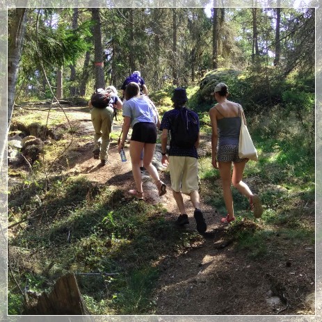
We start by the old sawmill Bråfalls Såg, which is still partially preserved and can even be explored from the inside at your own risk. The building, of which the reed roof was renewed in 2016, is located on a small stream. Even remains of the artificial dam can be found.
Lake Björken is surrounded by forest and offers a beautiful swimming area. Its water is very clean! By the lake, there is also a wind shelter, offering a good picnic place in all weathers. We follow the old miller’s path down to the abandoned mill Karlfors Kvarn, which was built in 1828 and stopped operating in 1954.
As your guide, I will give you valuable information about the last ice age and its traces in today's landscape. We will explore the local nature, mosses, lichens and of coures the historical sights mentioned above.
Clothing and shoes must be adapted to the weather.
From 475 SEK/pers.
Typical Swedish fika (coffee & pastry) optional.
More pictures of these hikes in the gallery.
For more information please contact me by phone or e-mail.
 back to Hiking tours
Notice: Unfortunately OpenStreetMap shows agricultural area all along the coast. In fact there are much larger forest areas where we will hike through. You can check this out on any satellite picture.